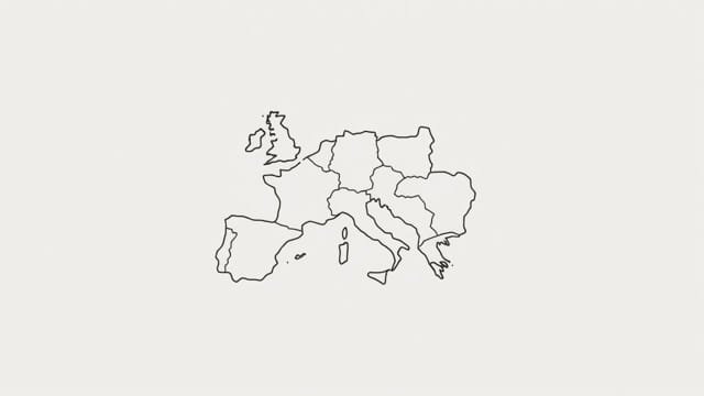
The Kingdom of the Visigoths was a significant early medieval state that rose from the remnants of the Western Roman Empire. Spanning regions of modern-day France and Spain, the Visigothic realm played a crucial role in the transformation of Europe during the migration period. Understanding the historical geography of the Kingdom of the Visigoths requires examining its territorial expansion, key cities, and shifting borders as depicted in historical maps. By exploring the kingdom’s changing boundaries and centers of power, we gain a clearer picture of how this Germanic kingdom helped shape post-Roman Europe.
Origins of the Visigoths
The Visigoths were one of two main branches of the Gothic people, the other being the Ostrogoths. They originated in Eastern Europe but began migrating westward in the late 4th century. Pressured by the Huns and conflicts with the Roman Empire, the Visigoths moved into Roman territories, eventually settling in the western provinces.
Their most famous early king, Alaric I, famously sacked Rome in 410 CE. This event marked a turning point in European history, as it symbolized the declining power of the Roman Empire. Following this, the Visigoths sought permanent settlement within Roman lands, eventually founding their own kingdom.
Formation of the Visigothic Kingdom
Settlement in Gaul
After years of migration and conflict, the Visigoths were granted land in southern Gaul by the Roman Emperor in the early 5th century. They established their capital in Toulouse, and this region became the nucleus of the early Visigothic Kingdom. The initial territory included parts of what is now southwestern France.
Maps of this period show a Visigothic presence stretching from the Loire River in the north to the Pyrenees Mountains in the south. Their influence reached the Atlantic coast to the west and extended eastward toward the Rhône Valley.
Expansion into Hispania
By the late 5th and early 6th centuries, the Visigoths began expanding southward into the Iberian Peninsula, gradually displacing other groups such as the Suebi and the Vandals. They moved their capital from Toulouse to Toledo, signaling a new era of rule based in Hispania (modern-day Spain and Portugal).
Maps from this phase show the Kingdom of the Visigoths covering nearly the entire Iberian Peninsula, except for small areas in the north controlled by other groups, and later, a portion in the south briefly under Byzantine control.
Key Geographic Features on the Map
- Toulouse: The first Visigothic capital, located in southern Gaul. It served as the administrative and military center during the kingdom’s early years.
- Toledo: The later capital, positioned centrally in Spain. It became the heart of the Visigothic state and a religious center.
- Pyrenees Mountains: This natural barrier marked the border between Gaul and Hispania and was a key geographic feature defining the northern frontier.
- Guadalquivir River: Located in southern Spain, it was an important trade route and near the southern boundary of Visigothic control.
- Cantabrian Mountains: These northern highlands were difficult to conquer and remained semi-independent during Visigothic rule.
Challenges and Shifting Borders
Loss of Gaulish Territories
The Visigoths faced growing pressure from the Franks in the north. After the Battle of Vouillé in 507 CE, they lost most of their territory in Gaul, including Toulouse, to the Franks under Clovis I. This forced the Visigoths to retreat fully into Hispania and concentrate their efforts on consolidating control over the Iberian Peninsula.
This major defeat dramatically altered maps of the time. The Visigothic realm shrank in the north but expanded within the Iberian Peninsula. Toledo emerged as the undisputed center of Visigothic administration and culture.
Byzantine Foothold in the South
During the reign of Justinian I, the Byzantine Empire reconquered portions of southern Hispania around the mid-6th century. The region around present-day Cartagena and Málaga came under imperial control, creating a pocket of Byzantine influence on the map.
The Visigoths would later regain these lands in the 7th century, but the period of Byzantine presence illustrated the continued instability and fragmentation of post-Roman territories.
Religious and Political Centers
Toledo as Capital
Toledo became the religious and political heart of the Visigothic Kingdom. Church councils held there, known as the Councils of Toledo, played a major role in shaping religious doctrine and law. The conversion of the Visigoths from Arian Christianity to Catholicism in the late 6th century further unified the kingdom and is often marked on historical maps as a key cultural shift.
Strategic Cities
Other major cities in the Visigothic Kingdom included:
- Mérida: A Roman city that retained importance during Visigothic rule.
- Seville: Known for its religious influence and later prominence during the Islamic period.
- Barcelona: In the northeast, near the border with Frankish territory, serving as a frontier city.
The Fall of the Visigothic Kingdom
By the early 8th century, the Kingdom of the Visigoths began to decline. Internal conflicts, succession disputes, and weakened defenses left it vulnerable. In 711 CE, Muslim forces crossed from North Africa into southern Hispania. The decisive Battle of Guadalete led to the defeat of King Roderic and the collapse of centralized Visigothic rule.
Maps from the early 8th century rapidly changed as the Umayyad Caliphate expanded across the Iberian Peninsula, replacing Visigothic territories with new Islamic provinces. However, some pockets of Visigothic influence remained in the northern mountains, eventually contributing to the Christian kingdoms that would arise during the Reconquista.
Legacy and Historical Geography
Although the Visigothic Kingdom was eventually absorbed into the Islamic world, its legacy endured. The Visigoths laid the foundation for the medieval Spanish kingdoms that followed. Their laws, culture, and Christian institutions influenced centuries of Iberian development.
Maps of the Visigothic Kingdom are essential for understanding the political geography of post-Roman Europe. They show the evolution of power from Rome to the Germanic kingdoms and illustrate the dynamic nature of borders during a period of great upheaval. Today, these maps are studied by historians and scholars seeking to trace the early medieval transformation of Western Europe.
The Kingdom of the Visigoths map reflects a crucial moment in European history when Roman order gave way to new powers. From Toulouse to Toledo, and from Gaul to the southern coasts of Hispania, the Visigoths built a kingdom that would leave a lasting mark on the region’s political and cultural landscape. Understanding their rise and fall through historical geography allows us to appreciate the complexity of early medieval Europe and the shifting nature of borders in a time of migration, war, and transformation.